h1

Paul McKee and the Clemens Mansion

April 28, 2020
March 2016: Chapel and Mansion

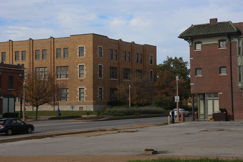
In July of 2015, headed home from a business trip via LAX, I noticed a familiar face hovering around the Business Select section of my Southwest Airlines gate – long before boarding was to begin. It was the infamous Paul McKee, so I walked over and started a conversation, introducing myself as a supporter of his Northside Regeneration project. He reacted with excitement but spoke only in broad terms about his “commitment” and planned “transformation”. I asked a few polite questions, thanked him for his time, and eventually boarded just a couple folks behind him in line.

January 2012: Secure Site

Filing onto the plane, I ended up taking the aisle seat directly in front of Mr. McKee and settled in for the long flight. Catching up on my backlog of magazine issues, I sipped a Tanqueray and tonic graciously mixed by hard working flight attendants, and almost forgot about the local celebrity sitting behind me. But when we landed and everyone started standing up to collect their belongings from the overhead bins, I couldn’t help myself.

October 2016: Open Floor Plan

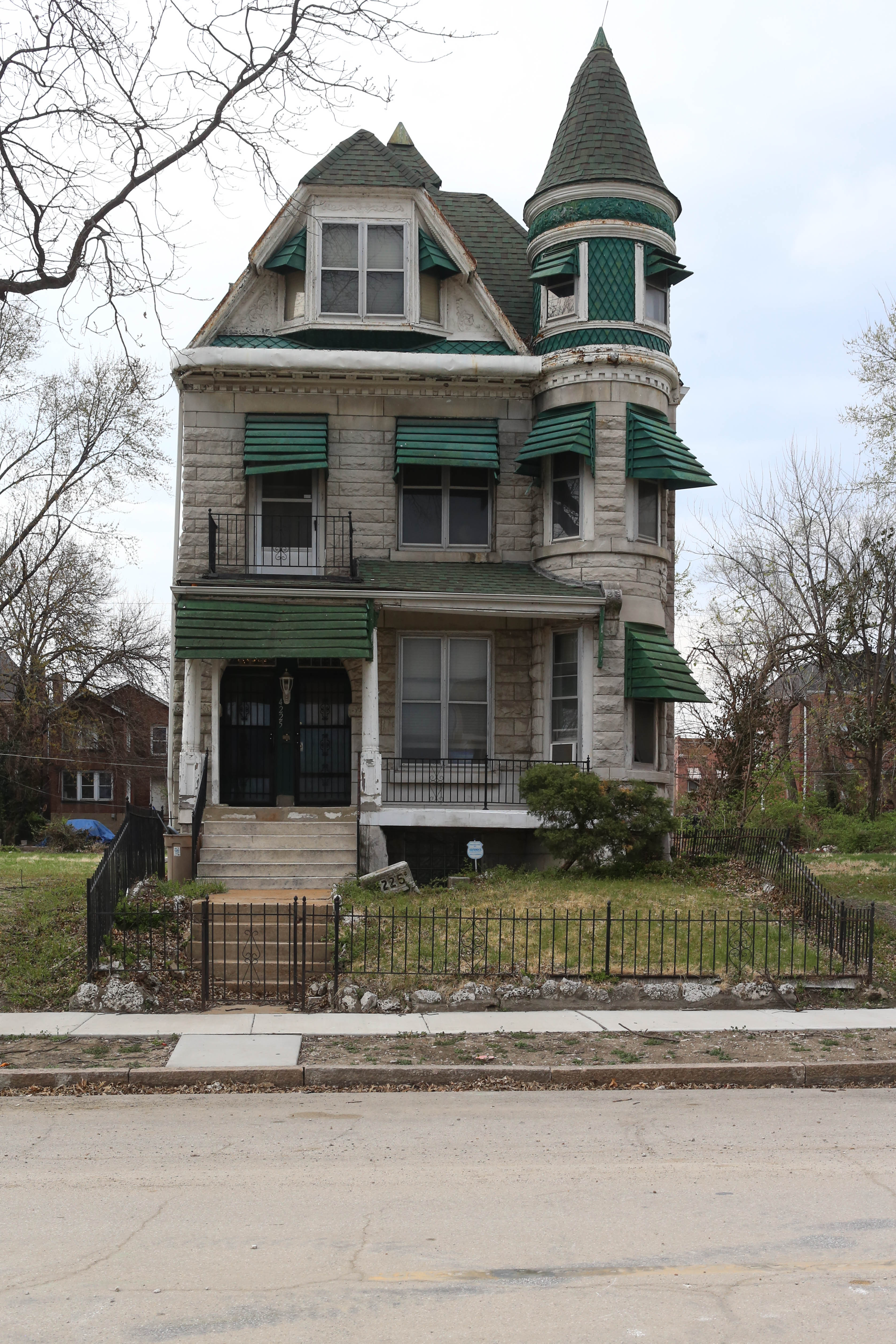
“Mr. McKee – I meant to ask you earlier about your plans for the Clemens Mansion. It appears to be deteriorating rapidly despite your public commitment to preserve and restore it.”

March 2016: Deterioration

He immediately became defensive and asked “If you want to restore it, why don’t you put up the money yourself!”

October 2016: Abandoned

I responded that I did not have the financial resources for this undertaking, and for that reason (along with not being a developer) had not sought to buy the property. Why, if Mr. McKee did not have the funds to complete his promised restoration, did he purchase this landmark in the first place? Our exchange continued as such until we made it to the end of the jetway, at which point my conversation partner walked briskly in the direction opposite the airport exit.

March 2016: The View

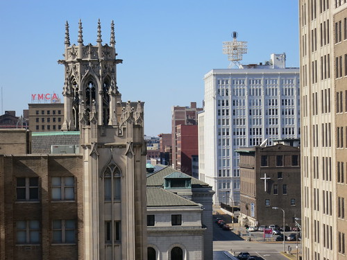
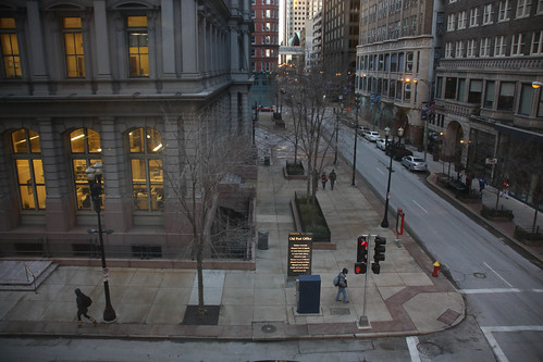
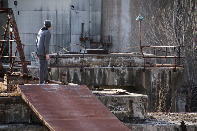
I proceeded with routine of shuttle to garage to car to freeway, home. But because of the interaction, I was reminded to continue visiting and photographing the Clemens Mansion.

July 2017: Gutted

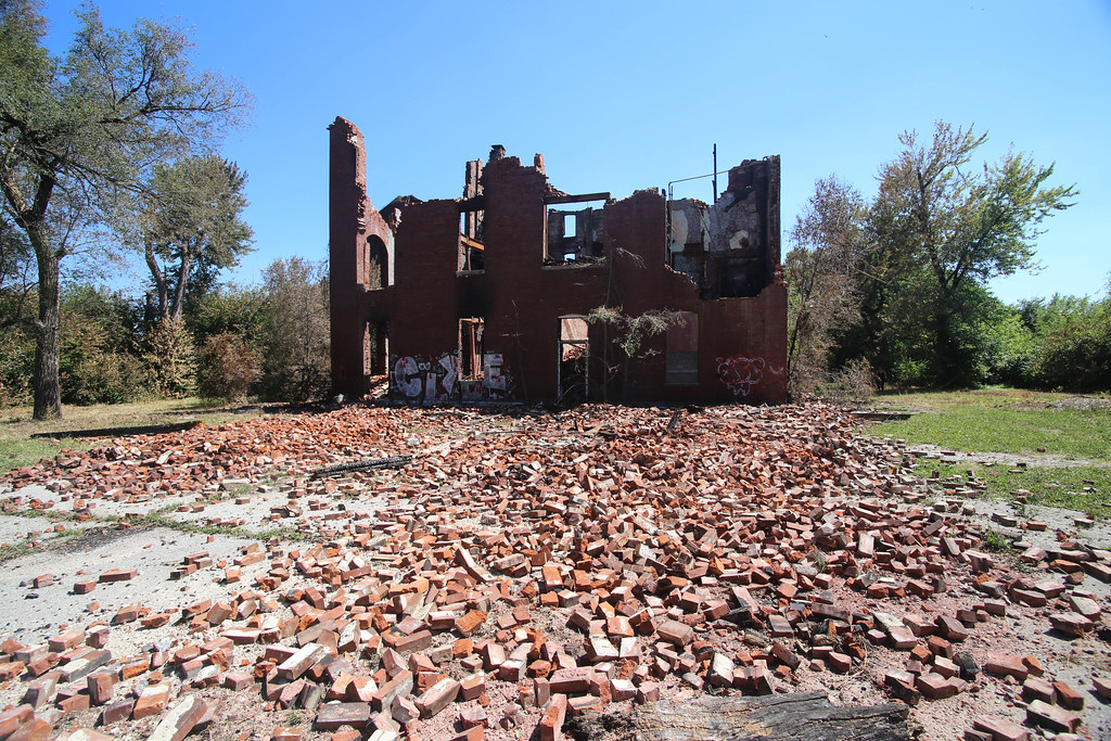
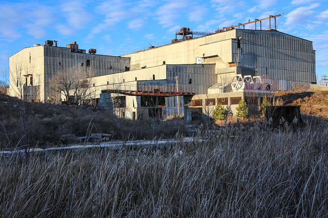
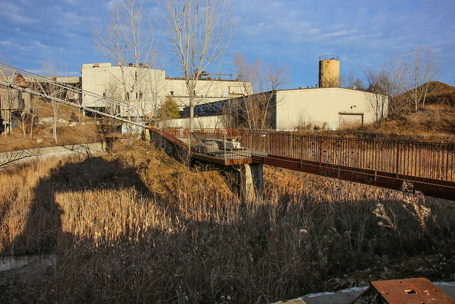
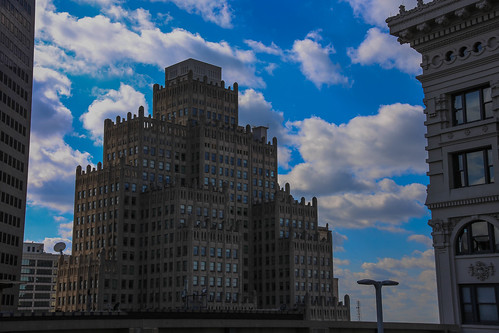
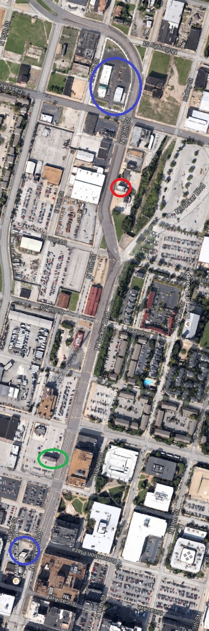
Unfortunately, this historic structure on Cass Avenue was demolished after undergoing a decade of neglect at the hands of its latest owner and a fire, breaking out almost exactly two years after the interaction described above, ultimately sealing its fate.

July 2017: Misplaced Hope

Paul McKee still owns the property today (as Northside Regneration, LLC), now a blank slate. Property taxes for 2019 remain unpaid as of this publishing date.

h1

Beauty Alley

February 3, 2020

I love alleys. From the narrow, fire-escape-dotted canyons of downtown, to those in quiet neighborhoods lined with chain link fences and small garages. Each has its own charm, but in St. Louis few of these alleys have names. One that does recently caught my attention.

Along the southern edge of the McKinley Heights neighborhood, just north of Gravois between Indiana and Shenandoah, sits Beauty Alley. No street signs identify this two or three block stretch, and as far as I can tell, no homes or businesses utilize its address. Despite the lack of identification on the ground, Beauty Alley is listed in directories and city records as far back as 1891, and appears on Google Maps today. But walking down this alley (or scrolling through the photos above), beauty probably isn’t the first thing that comes to mind. So why the name? Was it ever beautiful?

Unfortunately I’ve had trouble finding out anything substantive about this place. A 1909 Sanborn map (above) doesn’t show anything remarkable about Beauty Alley except its name – there’s just a bunch of wooden outbuildings like every other alley in the area. The only record of any interest I’ve been able to find is barely more informative than a street directory acknowledgement (but significantly more entertaining). Read it below, as seen in the November 25, 1898 edition of the Post-Dispatch:

undefined

So Beauty Alley has probably always been off the beaten bath, or at least not well known. Maybe it’s just a name?

Maybe not. After tracking down the Compton & Dry view of this area from 1875, it started to make sense. The alley might not be identified by name on this map, but it is a beauty.

h1

Pedestrian Walkways of Princeton Heights

December 3, 2017

Last week I posted about a pair of Pedestrian walkways in the Northampton neighborhood, and am following up today with some photos of a similar duo in Princeton Heights.

38812760131_28802c5622_c

Like those in Northampton, the Princeton Heights cut-thrus are in quiet residential areas.  Walking down them shows you homes, backyards, alleys and garages: a cross-section of the neighborhood.

38813836091_27529f464c_c 
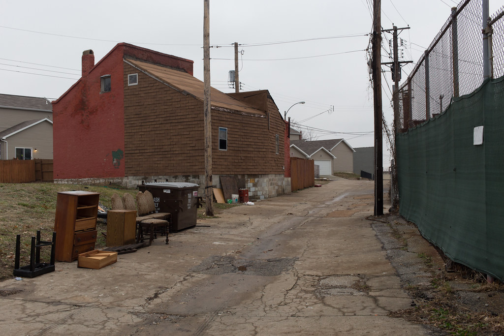
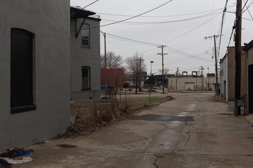
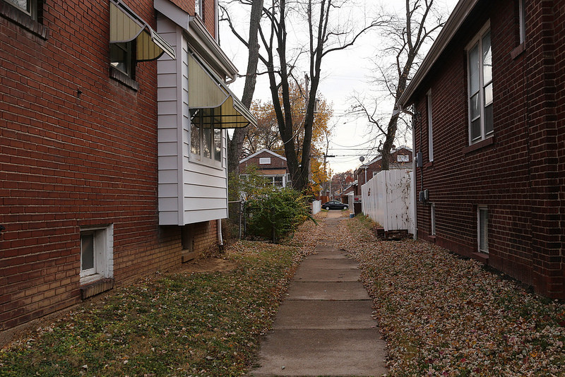
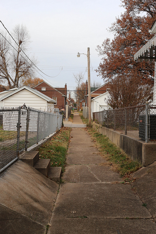
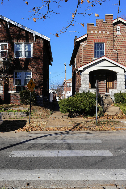
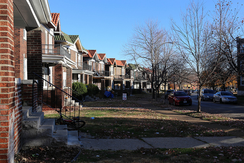
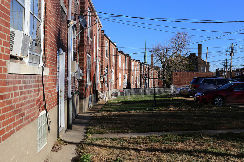
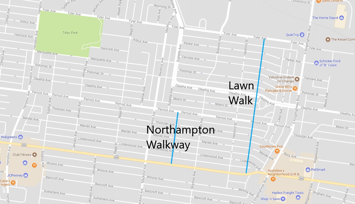
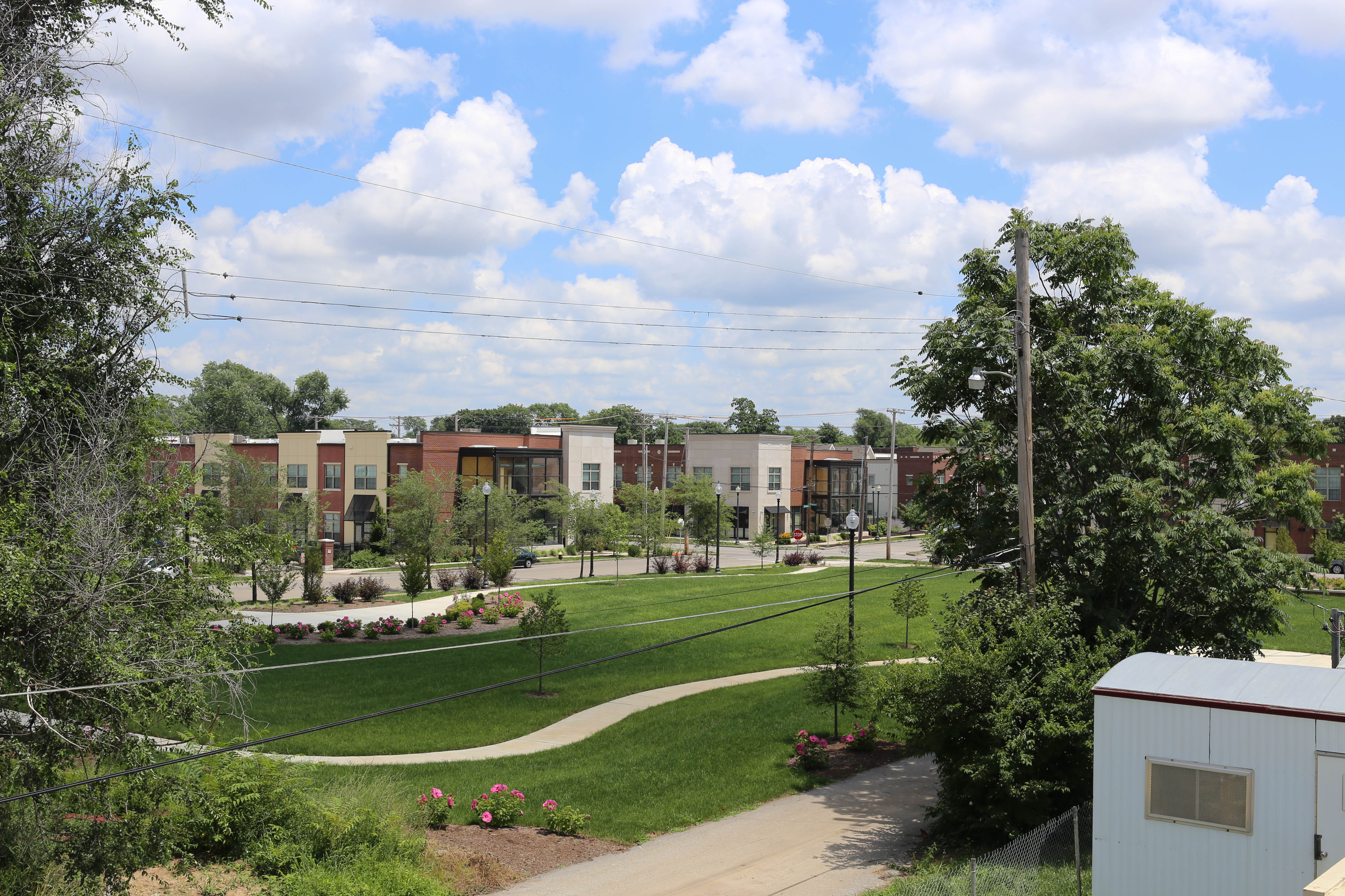
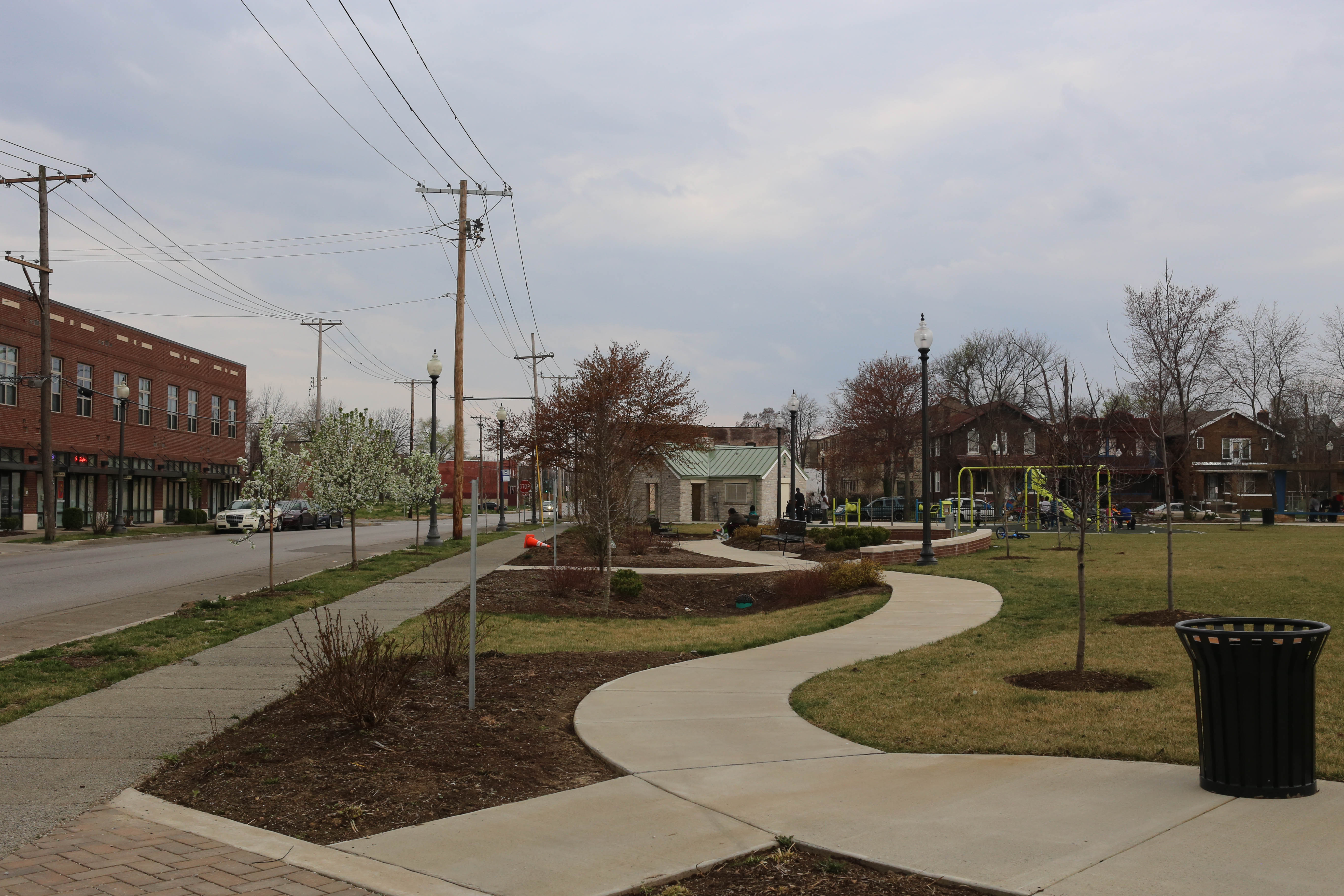
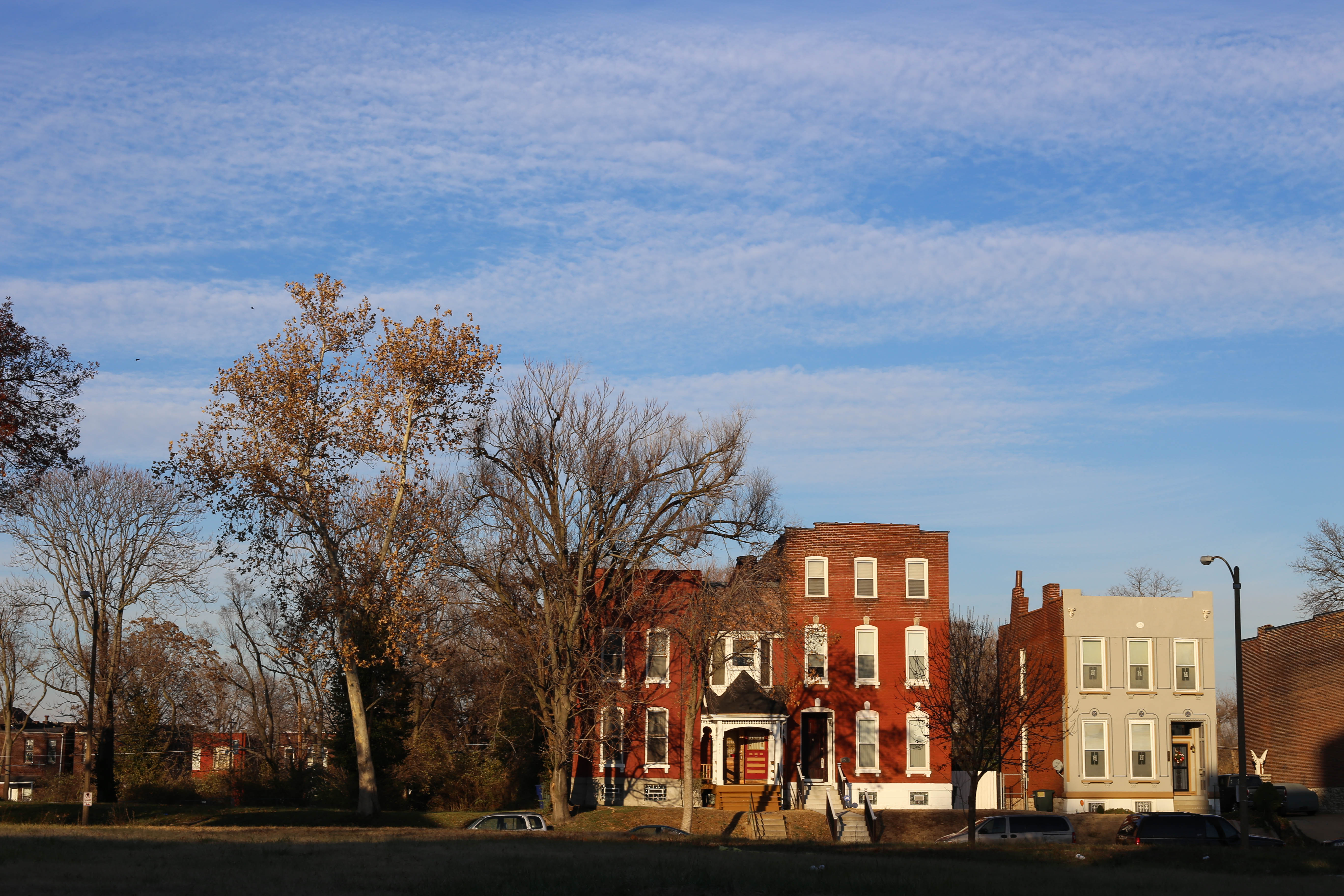
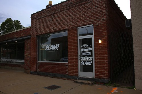
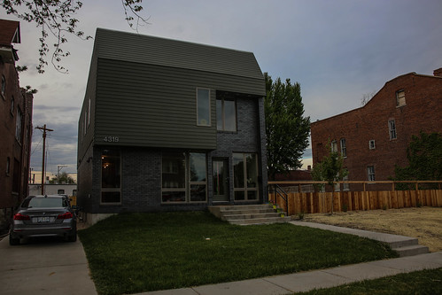
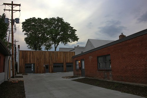
Local residents relaxing in their backyards or working in garages stopped us for brief but friendly conversations.  There is a real sense of community in this area, and the walkways are a really safe and pleasant piece of the public realm.
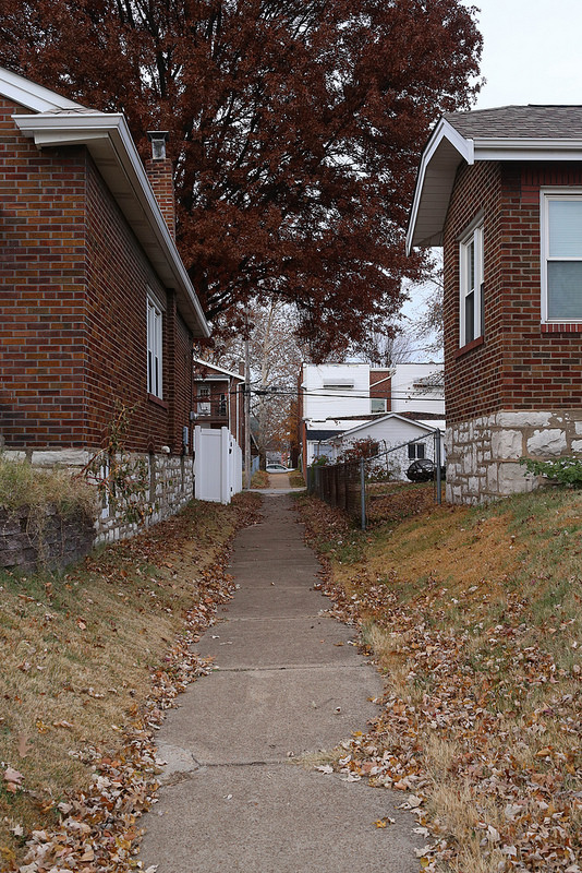
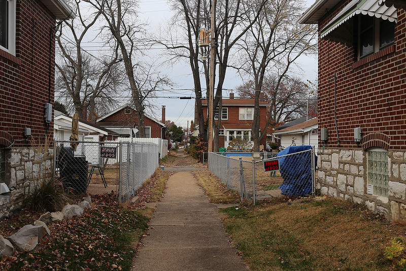
37928198175_7e56d02b5c_c

The photos above show the Quincy Walk.  A couple of blocks east is a shorter walkway, the Bonita Walk.

38784856062_a744759d3e_c

Finally, here is a map of the two walkways pictured and described above:

Princeton Heights Walkways.jpg

For more images of these walkways and Princeton Heights , check out my flickr album for the neighborhood.

h1

Pedestrian Walkways of Northampton

November 29, 2017

This past weekend, while enjoying the wonderful weather that St. Louis had been graced with, I stumbled upon a mid-block pedestrian pathway between Hereford and Lawn in the Northampton neighborhood (AKA North Hampton, AKA Northhampton).

38694787802_0fa5f6636a_c

Turning down the walkway and following it through the neighborhood is a delightful experience.  It provides a truly unique perspective on the area.  Each block has its own character and this cut through lets you see them back to back, witnessing the changes from single family to two-family to four-family to apartment block.

24851345548_4352b77aa4_c

Marked crosswalks provide an added level of comfort to the already safe-feeling path.  The streets this walkway crosses through are narrow and calm for the most part.

38723480931_58524f8642_c

Adding even more interest to this particular walkway is the curvature of the streets as they approach Kingshighway from the West.

38730944961_b474573dd2_c

The backside of a block can sometimes be even more interesting than the front.

37841305835_5a3b02d50d_c

Discovering this walkway and experiencing it on foot had me searching google for more information as soon as I got home.  That’s when I came across the St. Louis Urban Connections Project.  Take a look – this mapping project shows pedestrian walkways all over St. Louis.   In addition to the “Lawn Walk” (which is the one I’ve described and shown above), it highlights another in the Northampton Neighborhood, and a similar pair in Princeton Heights (all new to me).

Northampton Walkways

I’ll follow this post up with another showing the pedestrian walkways of Princeton Heights.  If you’re in the area, seek out these interesting neighborhood tours.  Check my Northampton Flickr page for more scenes from this portion of the city.

Update 12/3/2017: After linking to this post on Twitter, the resulting conversation taught me a few new things about the Northampton neighborhood (or North Hampton, which is apparently the preferred name).  Within it are two strong neighborhood organizations, Kingshighway Hills and Tilles Park that essentially split the city-defined neighborhood along Macklind Avenue (although Tilles Park extends into the Lindenwood Park neighborhood up to Watson).

h1

North Sarah Redevelopment – Phase 3

March 28, 2017

The North Sarah Redevelopment has continued to grow, and its most recent phase appears to be nearing completion.  The project was an early topic for this blog, and has now inspired a follow-up.

To provide a bit of background: McCormack Barron Salazar broke ground on phase 1 of the North Sarah Redevelopment Project in 2011 centered around Sarah and CD Banks.  They completed phase 2 on Vandeventer in 2013.  The current phase included a re-working of Turner Park, and extends new construction west to Whittier.

Turner Park from Above.jpg

Looking Northeast towards the corner of Sarah and CD Banks

The new Turner Park is attractive, and retains two structures from the previously existing park.  A new landscaped walking path with benches and gardens wraps the park that was previously dominated by a softball field.  Gone is the chain link fence that once lined its perimeter, and the addition of a playground appears to be quite popular.

Turner Park

Turner Park looking South from Sarah and CD Banks

Unfortunately, three historic homes have been demolished as part of this phase, in addition to the few that were previous casualties of the project.  The most recent set were documented by VanishingSTL back in July of 2014.  Since the development includes dwellings for as few as four families, working around existing building stock should have been a great problem.

North Sarah Construction.jpg

Finney Avenue looking east towards Sarah

A stroll through more in-tact nearby blocks of the neighborhood presents an argument for preservation.  The home pictured below is directly across the street from the three residences referenced by vanishingstl in the link above.

Vandeventer Neighborhood Residence.jpg

A few blocks to the west (and just a block east of Ranken Tech) is a great collection of commercial/industrial buildings that are awaiting a new use.  Enright Avenue immediately to the south has few “missing teeth” (at least west of Sarah), and showcases the very best of St. Louis residential architecture.  Buildings along this corridor are in various states of repair, but the success of North Sarah along with a steady stream of infill/rehabs on Delmar and to the immediate south elicits optimism.

Enright.jpg

Enright Avenue in the Vandeventer Neighborhood

North Sarah feels nice to visit.  At least one of the live/work spaces includes a useful and interesting retail store.  Turner Park looks great.  Hundreds of new residents have moved in within the last five or so years.  The North City Food Hub is set to open this summer in the never-really-occupied anchor retail space at Sarah and CD Banks.

North Sarah.jpg

Looking North on Sarah

This project has done a lot of good things, and in terms of form and materials it sets a great example for urban development in “less-desirable” (i.e., North of Delmar) portions of the city.  The problem is that it’s repetitive in a way that’s visually boring.  It’s a poor match for the smaller scale, incremental development that makes up much of the surrounding area.  It’s too big because it has to be in our “economy of scale” age.

Enright Avenue.jpg

It’s the little things.

I don’t have the answers here, but we must find a way to attract investment from a variety of developers that can tackle one to five lots rather than 50 to 500.  The North Sarah project has done a good job in its three phases, but whatever phase 4 is it needs to try something different.  It’s the little things that make a neighborhood great.

Further Reading:

Slyvester Brown’s STL American Column on the North City Food Hub: http://www.stlamerican.com/business/business_opinion/a-new-model-for-developing-north-st-louis/article_519f6618-a6ca-11e6-ae49-334af5ff88f0.html


h1

Top of the Parking Garage

March 16, 2015

Downtown St. Louis has far too many parking garages that deaden the streetscape and ugly-up our beautiful built environment.  In the spirit of optimism, these garages are definitely good for one thing – providing public access to breathtaking views otherwise reserved for the occupants of corner offices.  Below are some of my favorite Downtown St. Louis parking garage rooftop photographs.

Terra Cotta Detail

Olive from Garage Mahal

Met Square

Union Trust Lions (and Pidgeon)

I-64

17th and Washington

Union Station

Railway Exchange

Locust Street

Looking Southwest

Purina

Car Park Village

Wainwright, etc.

Looking East

9th and Olive

PET Building

Old Post Office Roof

SLU Law and Courthouses

Tucker

Pine Street View of the Soldier’s Memorial and Plaza Square

h1

Cementland in 2015

January 21, 2015

I first wrote about Cementland in early 2010.  Now, just over three years after the tragic death of Bob Cassilly, the site is slowly becoming another St. Louis landmark forgotten by all but Graffiti Artists and Urban Explorers.  The following are photos of this incredible place in its current state.  I still maintain hope that an individual or group will attempt to fulfill Cassilly’s grand vision, but it’s a long shot.

Cementland in 2015

Northwest Corner

Train Tracks

Reeds

Reflections

Bench and Sculpture(s)

Bridges

Edge of a Bridge

Near the Entrance

Cementland

Downstairs

We need to save this place.

h1

The Telephone Company

December 14, 2014

The telephone is possibly the most rapidly advancing technology of our time.  Flip phones alone could have killed the landline, and smartphones compete with almost every other device in our lives.  Public Payphones, once ubiquitous and imperative, are now an endangered species (I’ve been documenting the survivors on my Flickr stream).

Payphone outside of the abandoned Bell Telephone Company at Locust and Beaumont

As fast as the technology changes, one physical reminder of the old days remains in many communities: The telephone company’s local exchange/switching office.

Bell Telephone Company on Natural Bridge at the St. Louis City Limits

These are in addition to the more high-profile downtown headquarters that are a part of every major American City’s skyline.

Old Bell Telephone Building in Downtown St. Louis

AT&T on the Skyline in St. Louis

Below are some of my favorite neighborhood/community telephone company offices in St. Louis.  My full collection of these photos are in this album on Flickr.

Detail on the Natural Bridge Building

Telephone Company in Kirkwood

AT&T

Detail on the Building at Washington and Spring in Grand Center

Kinloch Telephone Exchange in McKinley Heights

Webster Groves AT&T Building

Downtown East Boogie

East St. Louis Telephone Company

Switching Office on Delmar in the Academy Neighborhood

AT&T Building on South Grand

Detail on the Bell Telephone Company in Maplewood

I have yet to visit a number of other telephone company offices in the region, but hope to stumble upon more.  Happy exploring!

h1

129 Year Old Home Demolished – Gas Station Rumored Replacement

July 29, 2014

A few weeks ago I noticed a heartbreaking demolition just north of Downtown.  On one of the most active blocks in the vital transition between the heart of Downtown/Washington Avenue Loft District and neighborhoods to the north (part of Paul McKee’s Northside Regeneration), a rare reminder of contiguous urban form connecting these areas has been erased.  Built in 1885, the home pictured below was purchased for $135,000.00 just over a year ago, only to be demolished a couple of months ago at a cost of $6,000.00.

Home on N. 13th before demolition

1414 N. 13th Street – June 2013

This last weekend I found the time to photograph the lot, and speak with the neighbors at Kunkel’s Auto.  Apparently the little shop’s days are numbered as well.

Soon to be demolished

Kunkel’s Auto – November 2013

The rumor is that a gas station will be going into this prime lot near the new Stan Span/Downtown interchange, and is part of Northside Regeneration’s plans for the area.

Tucker/N. 13th between Downtown and Stan Span Access

Tucker/N. 13th between Downtown and Stan Span Access

In the image above, the red circle identifies the demolished home, blue circles point out existing gas stations, and the green circle is the only other surviving home on this important stretch.  Note that much of the Tucker frontage is devoted to surface parking and inappropriate infill like the straight-out-of-suburbia McDonald’s at 1119 N. Tucker.  Single use modern housing developments barricaded from walkable downtown by superblocks and fences dominate areas to the east and west, leaving Tucker as the only feasible way that McKee’s plan can connect livable urban places to the north and south.

1414 N. 13th – Gone

By squandering what little is left of this area’s built environment for another gas station/convenience store, Northside Regeneration is proving that it’s unfit for the job of remaking this part of our city, choosing instead to double-down on the failed strategies of the last few decades.  I hope that the rumors are wrong, but can’t help but believe them.

h1

McRee Town Today

May 17, 2014

The McRee Town neighborhood (recently rebranded Botanical Heights) has seen an incredible transformation over the last couple of years.  Its positive trajectory has a lot of momentum thanks to the pioneering local design/build firm UIC.  Their redevelopment provides an excellent example for other areas of the city.

McRee and Tower Grove

The above intersection, virtually abandoned just a few years ago, is now seeing new life and gaining popularity thanks largely to sister establishments Olio and Elaia (I haven’t tried the restaurant but Olio’s cocktails are top-notch).  Situated in between Shaw’s Garden and the rapidly gentrifying Forest Park Southeast neighborhood (Tower Grove Ave is still rough there), McRee Town’s new-found spotlight improves outlook for the Tower Grove Avenue Corridor and adjacent areas.

Bar and Restaurant in McRee Town - Tower Grove Avenue

Olio and Elaia

New housing and commercial space in the form of ground up and rehab construction is coming online in the immediate vicinity of this intersection.  Union Studio, SLAM! Agency, La Patisserie Chouquette, DTLS, and City Garden Montessori have all moved into the neighborhood over the past couple of years, and residential demand is increasing.

SLAM!

Relatively rare in the City of St. Louis, single family home construction by UIC has been completed at an aggressive pace.

UIC Infill Housing in McRee Town

Multi-Family residential has also been recently developed at the Tower Grove Mews.

Tower Grove Mews

St. Louis’ lack of connectivity between its destination neighborhoods is possibly our biggest hurdle to overcome.  The interstates, stroads, superblocks and Schoemehl pots that isolate us will not disappear overnight, but evidence of progress in areas like McRee Town both inspire and motivate the entire region.

For more photos of McRee Town over the past few years see my flickr photo set here.